Provision of Engineering services in view of the timely assurance of the OAED's real rights in the National Land Registry and the timely completion of the preparation of the Electronic Identity of Buildings - and in general Real Estate - owned by the Organization
In 2021, the technical service of the Public Employment Service, formerly O.A.E.D. undertook to create complete and up-to-date files for all of its properties, which exceed 600 acres nationwide, in order to submit and declare them to the relevant Public Authorities Carriers.

In December 2021, TopograF signed a contract with the Public Employment Service, in order to provide topographical services, for the geometric and geospatial documentation of the Organization's properties.
TopograF was responsible for the delivery of a set of topographical services, related to the drafting of a complete horizontal and elevation diagram, as well as the production of an orthophoto map, for each of the properties assigned to it.
The assignment areas were:
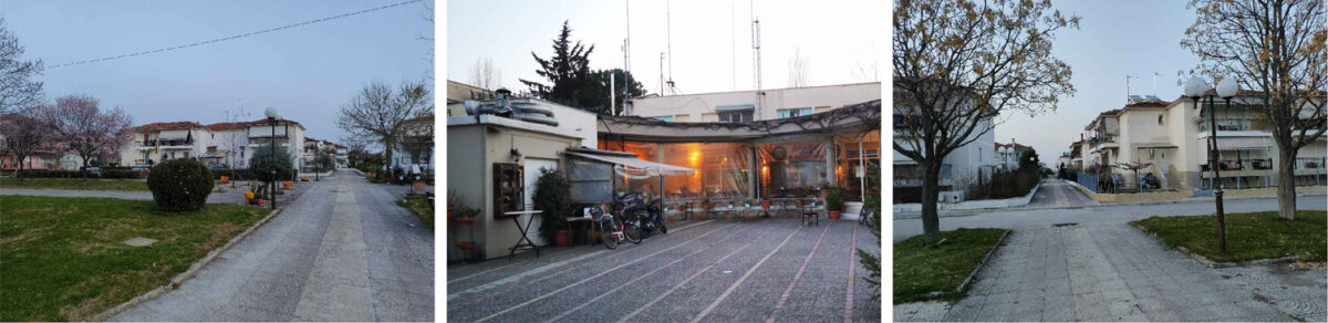
- the settlement “ N. Anchialos I" with a total area of 7672.73 sq.m.
- the settlement "Karditsa VIII" with a total area of 27804.62 sq.m. and
- the property of "EPAS Larisa" with a total area of 14195.22 sq.m.
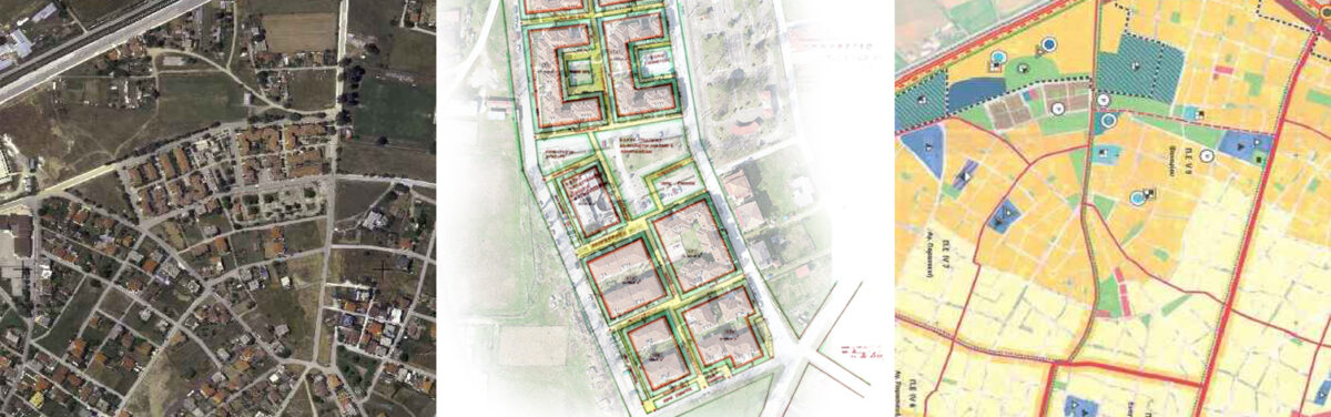
For all areas, complete topographical diagrams and diagrams of Geometric Changes, where necessary at a scale of 1:500, orthophoto maps at a scale of 1:500 and technical reports describing and analyzing the process were delivered.
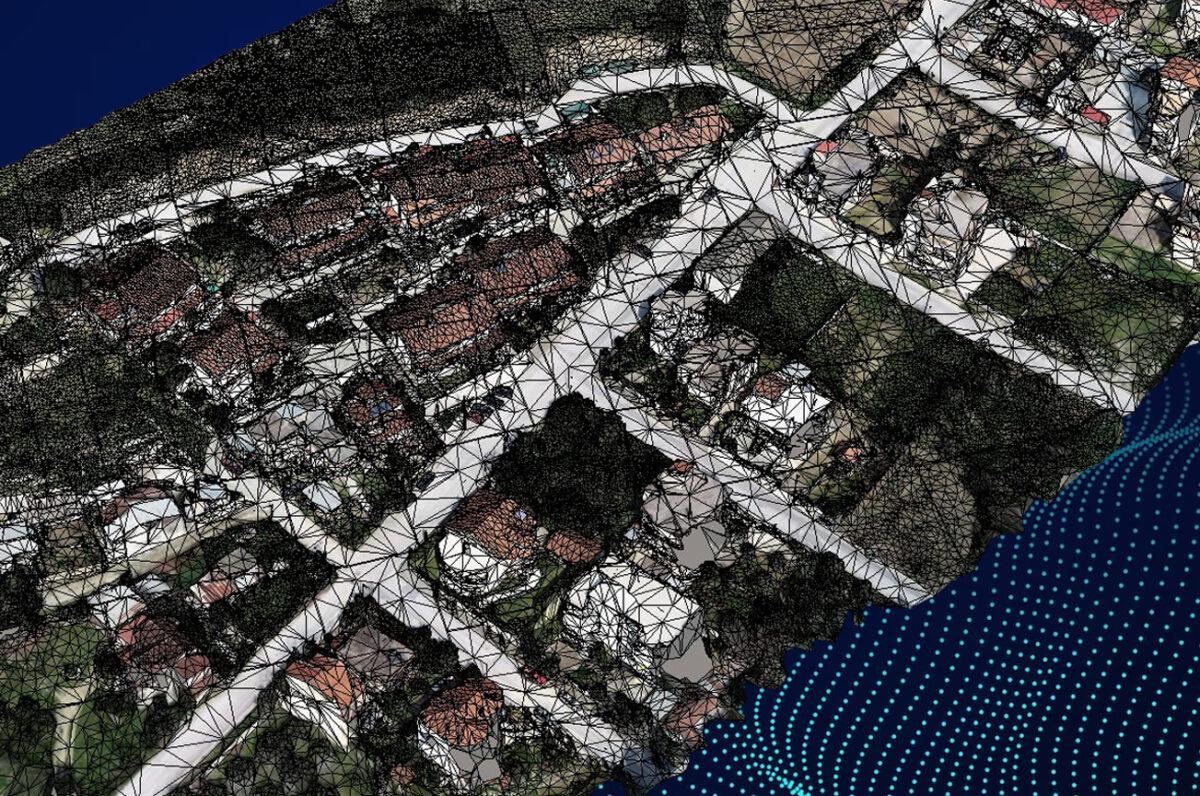
Meeting the technical specifications set out in the contract, all works were carried out by the experienced human resources of Topograf, utilizing state-of-the-art equipment and delivering high-precision results
All aerial surveys were performed by a certified UAS (Drones & UAV) operator from Topograf, holding the necessary permits from the Hellenic Civil Aviation Authority (H.C.A.A.).
N. Anchialos – Karditsa – Larissa