Photogrammetry
Photogrammetry is the technique of determining the dimensions of an object or a construction using photographs.
It is a process that requires high expertise not only in the application of topographical methodology during field and office work, but also in the handling of aerial vehicles.
The specifications for photogrammetric applications are fully met by our company, since in addition to specialization, we also have the appropriate equipment of unmanned aerial vehicles (UAV), as well as all the appropriate data processing software.
Photogrammetry and Orthophotomaps
The primary data, in this case the aerial photographs, produced after a flight, are processed to create a digital terrain model or a cartographic model, the orthophotomap.
Then they are used either as backgrounds for topographical impressions, or as sources of high-precision and high-quality data.
In addition, the use of photogrammetry can be used both for the production of 3D models and for the design of structures where elevation information is required.
Area and volume measurements

With the aerial means at our disposal (drones and UAVs) we can capture and measure large surfaces and excavations.
Using the high-precision horizontal and elevation data offered by drone produced photogrammetry, we significantly reduce delivery time and cost to the customer.
Topographic measurements using photogrammetry
Αναλαμβάνουμε την φωτογραμμετρική αποτύπωση του εκάστοτε γεωτεμαχίου ή εγκατάστασης, ακόμη και σε περιπτώσεις που η έκταση είναι πολύ μεγάλη, η δυσπρόσιτη και η εφαρμογή επίγειων μεθόδων είναι από δύσκολη έως αδύνατη.
We use aerial means (drones and UAVs) in order to make the necessary measurements, ensuring reliable and accurate results even in areas with large slopes and altitude differences.
3D photogrammetry impressions with drones
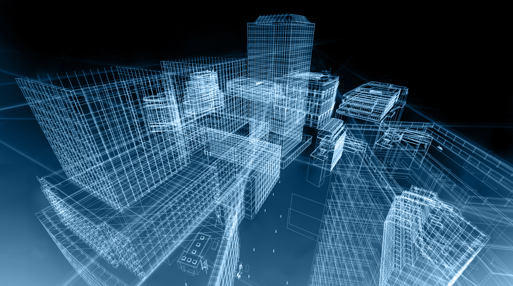
With the help of drones and other aerial means we can capture buildings, constructions and facilities by creating a 3D model.
The depiction of the existing situation with absolute accuracy and detail will essentially help in any maintenance or upgrade study of the customer's facilities.
Land and cadastral applications

We have the ability to map large areas and create orthophoto maps, which can be used either as a background for the creation of cadastral maps, or to compare the existing situation with the land parcels defined by the Greek Land Registry.
Production of Digital Terrain Model (DTM)
By applying photogrammetry methods, we map the relief of an area in detail and create digital terrain models, enabling the user to extract and process the necessary elevation information for the entire mapping area.
By using the digital terrain model (DTM), accurately calculating slopes and finding elevation differences between points becomes a simple process.
Inspection of constructions and technical works

The inspection of a construction with the application of photogrammetric impressions, aims at the analysis and comparison of geometric sizes, through the creation and processing of two-dimensional or three-dimensional visualization.
Why hire TopograF
Our equipment and our experience in photogrammetric applications allow us to deliver complete and with absolute precision, the requested topographic diagrams, elevation studies and two-dimensional or three-dimensional models in any digital format (dwg, dxf, pdf, etc.).
Each of our deliveries is modified and formatted according to your own workflow.
Our work is accompanied by technical reports and official documentation according to your specifications.
Η χρήση της φωτογραμμετρίας μας επιτρέπει να τηρούμε τους προσυμφωνημένους όρους και χρονοδιαγράμματά της εκάστοτε εργασίας.
Finally, photogrammetry is one of Topograf's specialized practices in order to meet your every need quickly and accurately.